GIS-Enabled Archaeology
Earth Analytic is currently consulting with the City of Santa Fe to provide a comprehensive geodatabase solution for managing archaeological preservation projects in the City’s historic downtown district.
EAI Provides Archaeologists:
- Customized GIS, data collection, data storage and modeling tools, scaled to your budget and project needs.
- Our customized, flexible geodatabase designs support efficient data collection and management, saving time and money both in the field and during analysis and report preparation.
- Earth Analytic is reseller of GPS data collection hardware and Esri GIS software applications at competitive prices.
- Earth Analytic retains a wide variety of partnerships with specialists in archaeological and environmental sciences which we can draw upon for specific project needs.
Archaeology-Specific Benefits:
- GIS systems customized to specific project needs, with customized geodatabases for efficient data storage, map templates for printing and display, and seamless integration with GPS systems for data transfer.
- GPS hardware and software solutions, which can capture data in the field using customized software for direct transfer to desktop GIS and geodatabase.
- Archaeological geodatabases, flexible and scalable from small site-specific studies to large landscape management projects.
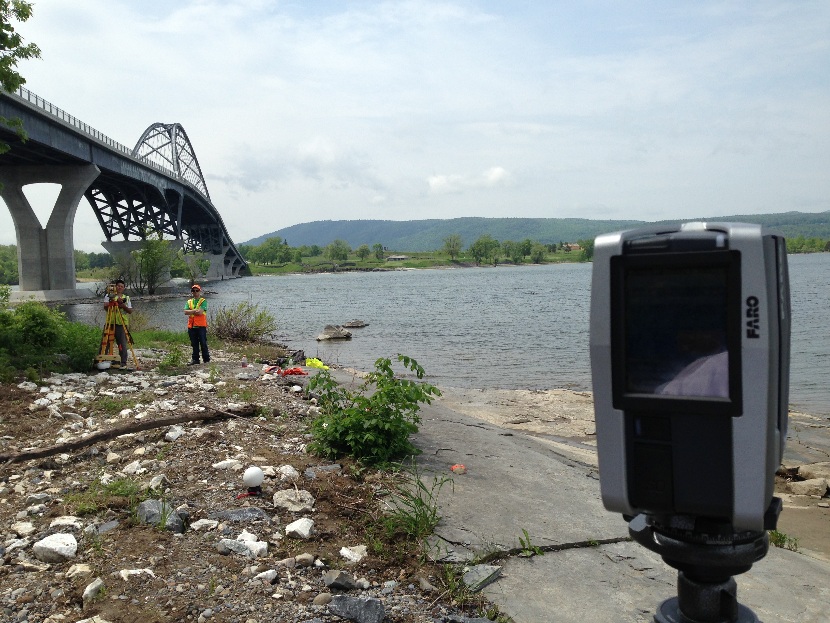
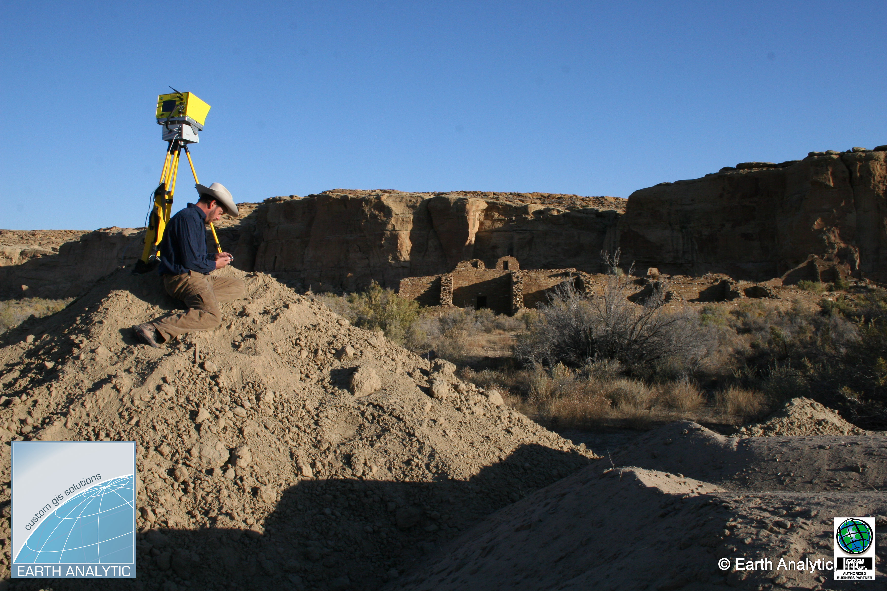
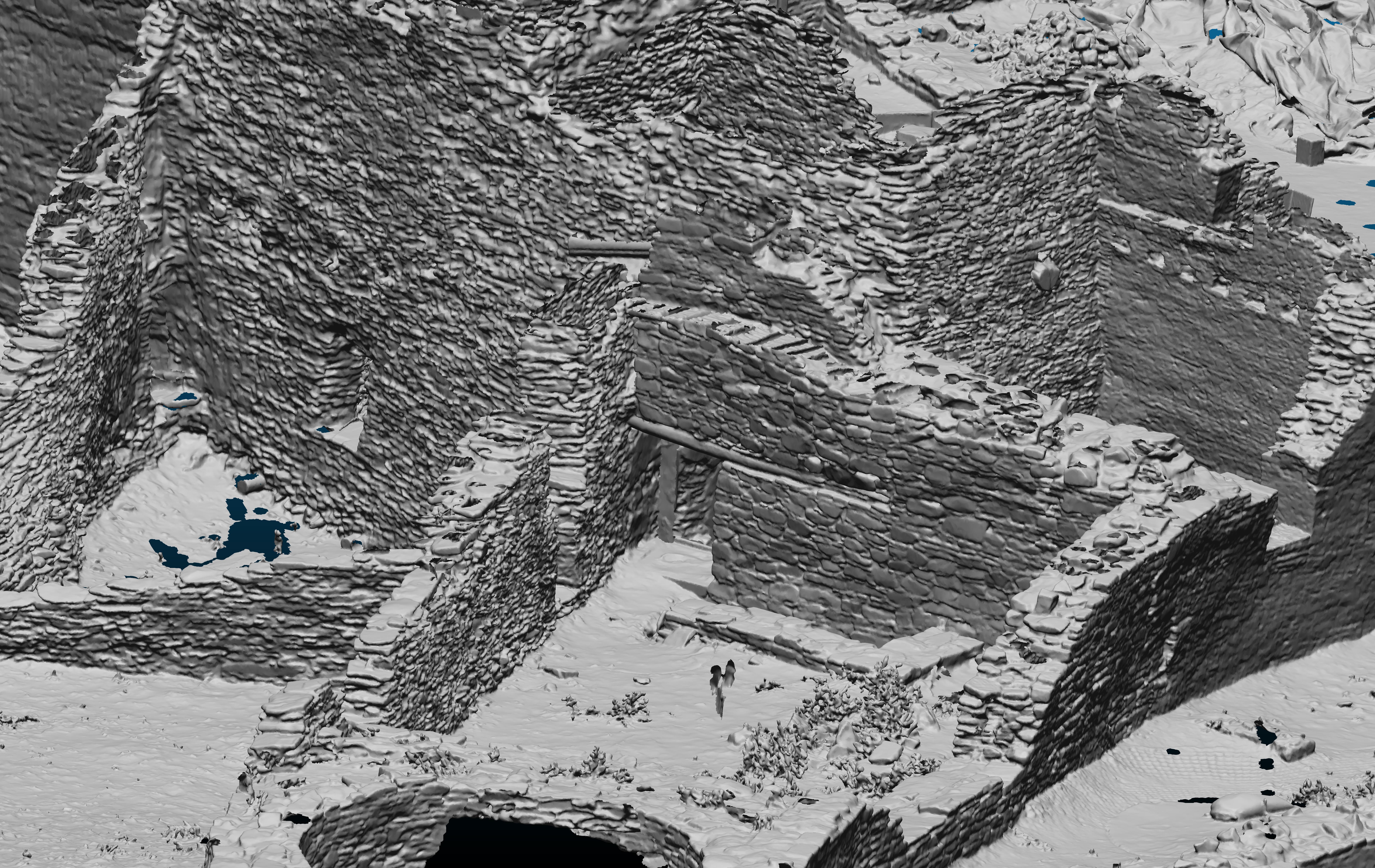
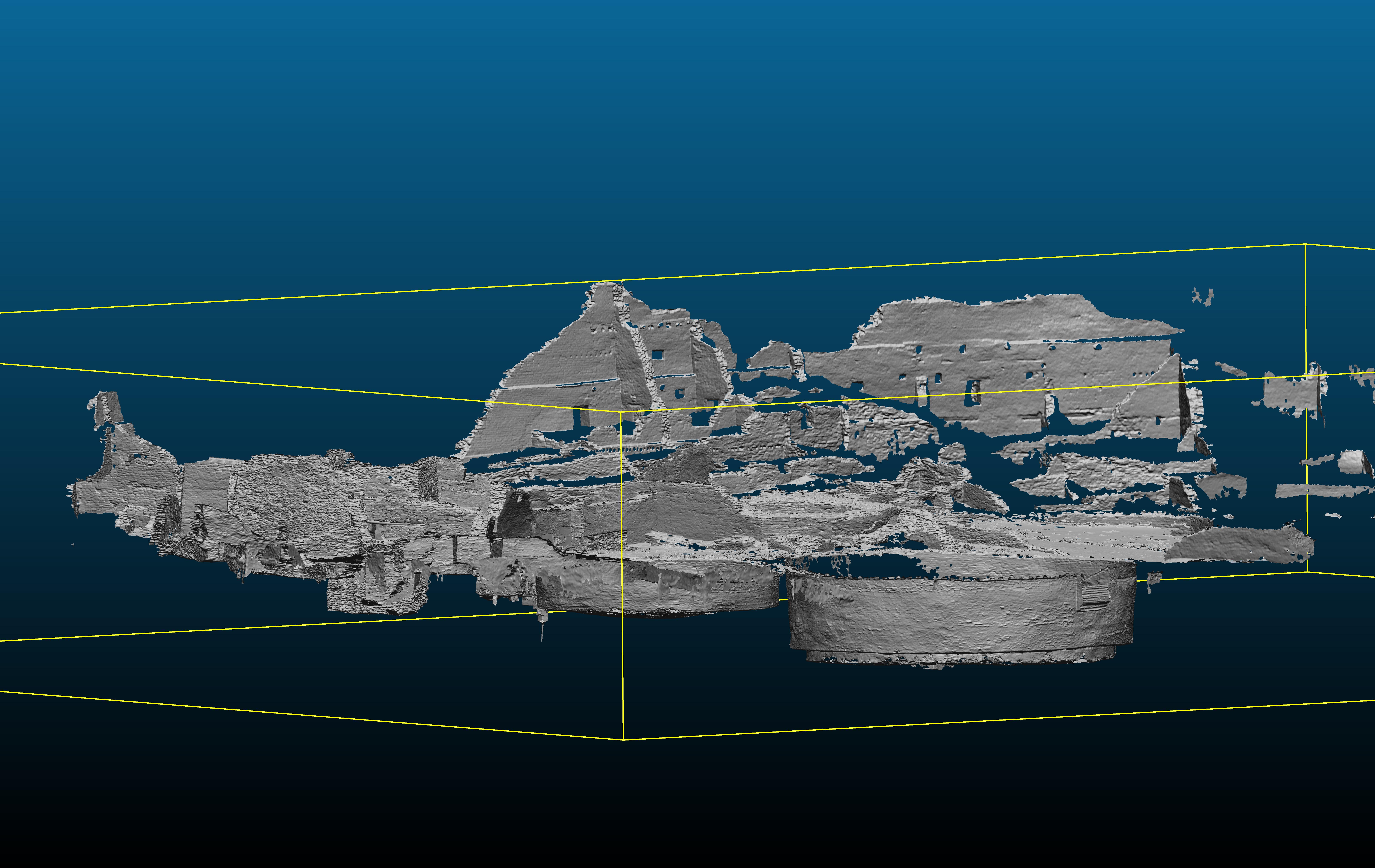
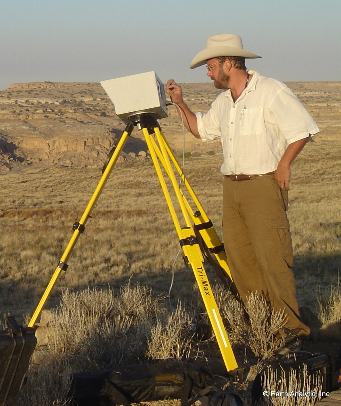
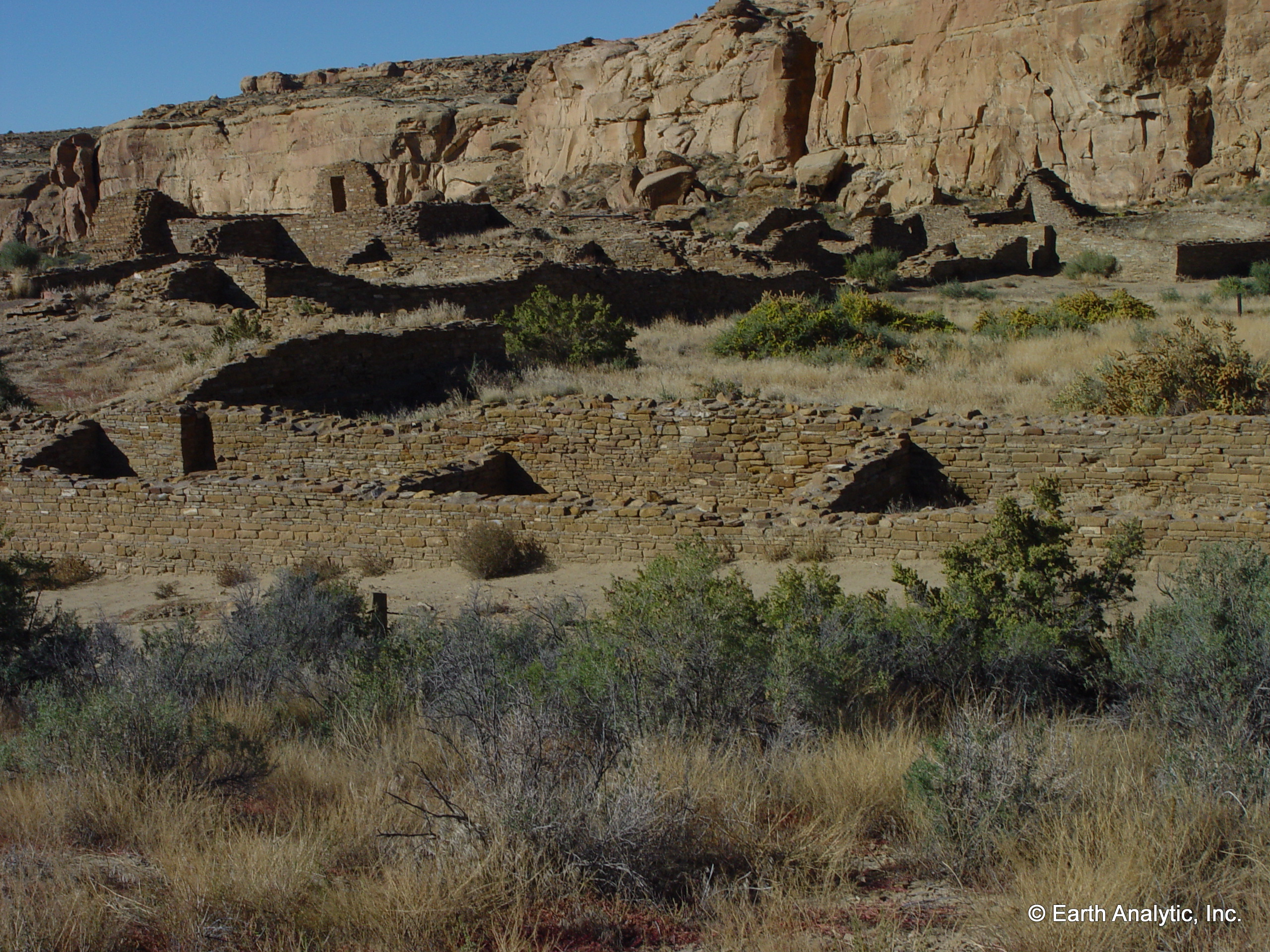
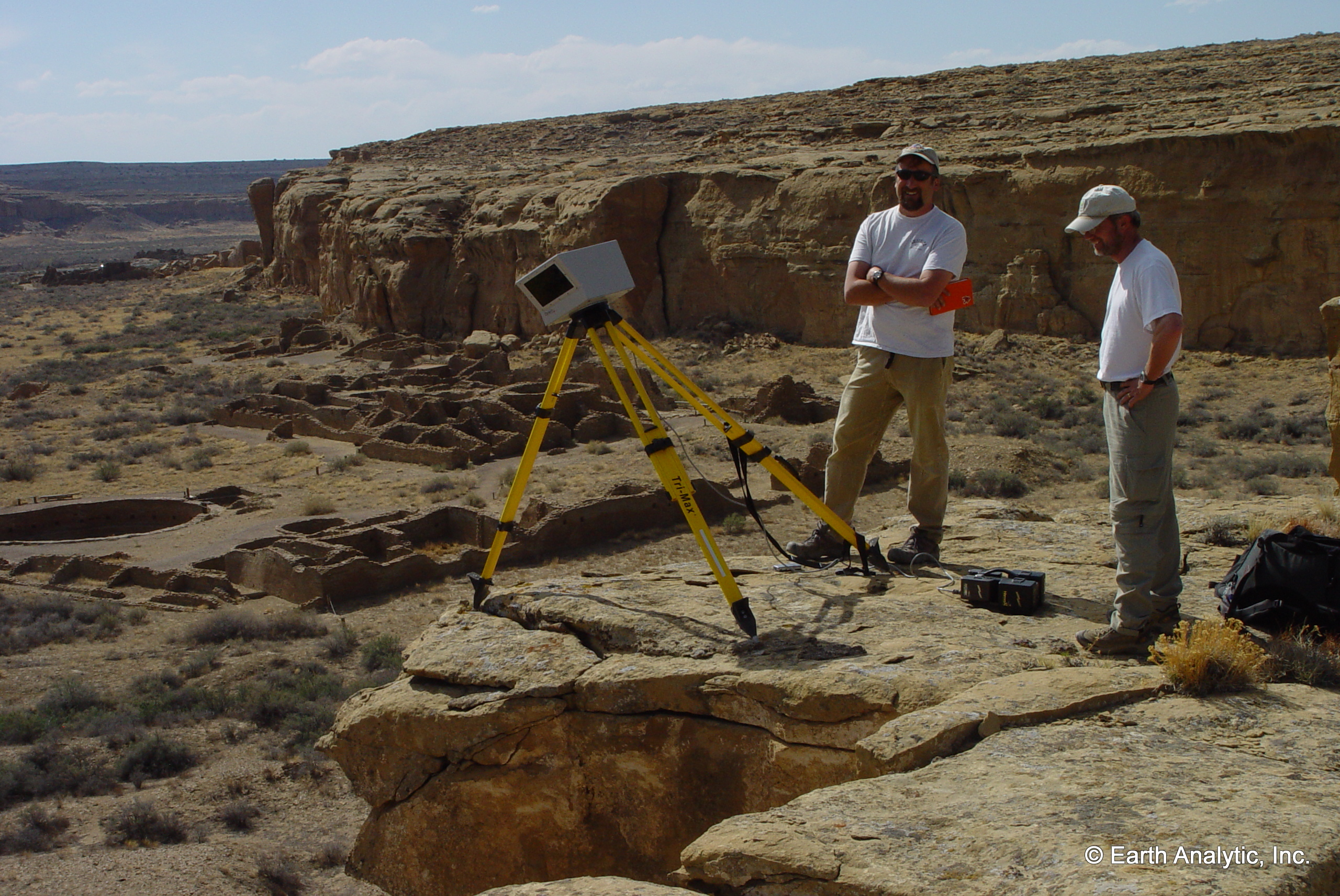
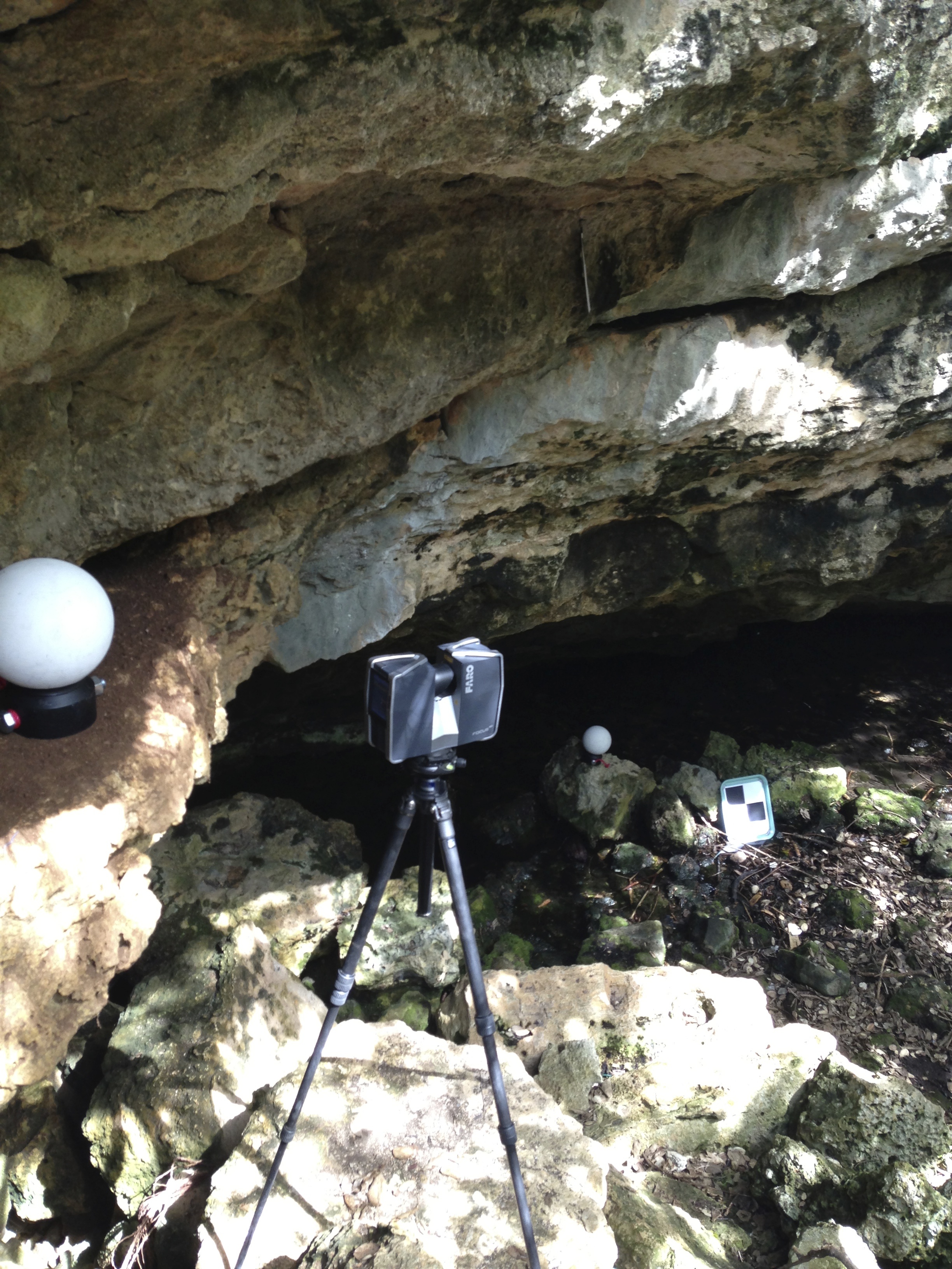
- Lidar-enabled three-dimensional modeling of artifact and feature distribution and stratigraphy to provide lifelike reproductions and walkthroughs of sites.
- Landscape modeling, using knowledge of the existing archaeological landscape and key geomorphological and environmental variables, to predict the likelihood of site location to assist in management, research, and planning.