GIS-Enabled Ski Area Management
EAI provides ski areas with an integrated mapping spatial data management and analysis solutions for multiple ski area departments. These solutions entail hands-on training, terrain analysis, and GIS online web application development. Ski area solutions leverage 3D visualization using the robust capabilities of the new ArcGIS Pro desktop application.
EAI Provides Ski Areas Solutions for:
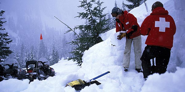
- Skier safety programs/accident investigation
- Land-use planning
- Systems for avalanche mapping
- Explosive usage
- Snow making/grooming
- Property management tasks (e.g. wetland mitigation, forest thinning, fire planning, etc).
Benefits
- Minimize cost
- Maximize efficiency
- Increase skier safety
- Reduce ecological impact


